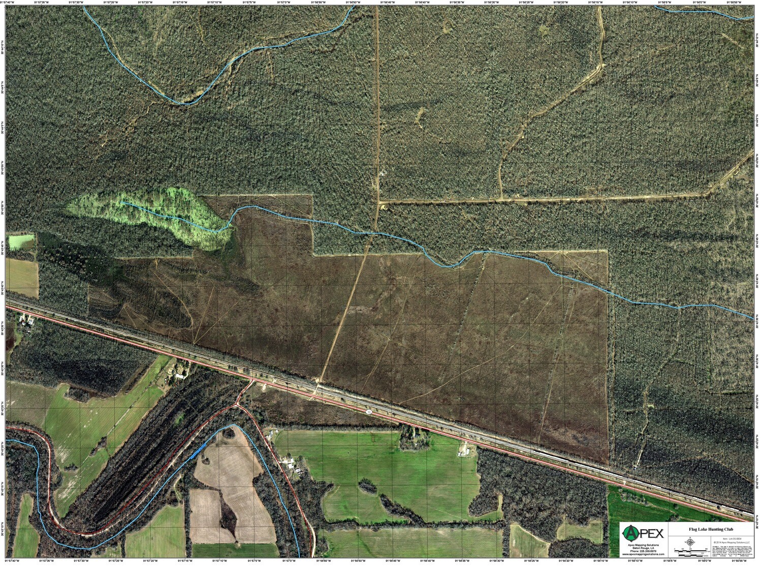
CUSTOM MAP ORDER
Design your own Custom Map!
INCLUDED - Your choice of:
*location
*background (click here for choices)
*print media (click here for choices)
ALSO INCLUDED:
*map tube
*relevant infrastructure information for the area
Add-On Features
USGS Topographic Background (no additional charge)
Topographic (“Topo”) maps are often preferred by outdoor enthusiasts because of the unique combination of topographic and environmental features. The most commonly utilized series is the 7.5-Minute Topographic, also referred to as a 1:24000 scale (1"=200').
Custom Backgrounds
We can accommodate requests to scan, plot, and/or geo-reference your existing map to be utilized as a background for your custom map. Contact us for pricing.
Boundaries ($10.00)
Add your property or hunting club boundary to your custom map.
*Boundary creation from legal property descriptions is a GIS service and will be billed at an hourly rate.
Standard Elevation Contours ($10.00)
Elevation contours are produced from the same data used on our Topo Relief maps. Most areas will have a 2' contour interval.
Custom Elevation Contours ($50.00)
Custom elevation contours can be added to any base map, but is most commonly seen on aerial photography. Contours can be created at any interval you specify, however, a five or ten foot interval is recommended to maintain legibility in areas with dynamic topography. Contours are based on LiDAR data if available, and NED data if LiDAR does not exist for your area.
Custom Roads or Trails ($10.00)
Private roads or ATV trails may be added to your map. We may be able to spot some trails from aerial photography or elevation data, however, gps data is preferred.
Locations Plotted ($10.00)
We can plot specific locations on your custom map, such as camps, deer stands, private boat launches, etc. (maximum of 30 locations)
GPS Download ($50.00)
This is a digital copy of your custom map that will be properly labeled and positioned for use on your gps unit. At this time, we only support Garmin units.
Additional Copies of Custom Maps ($30.00 - $60.00)
Additional copies of custom maps are $20.00 each. Copies of custom maps with only a change in background are $30.00 for the first copy, and $20.00 for each additional copy.

